OpenStreetMap

The OpenStreetMap (OSM) project collects geographic data and provides this data and the maps created from to anyone for free. It was started because most maps you think of as free actually have legal or technical restrictions on their use, holding back people from using them in creative, productive, or unexpected ways.
I joined the project in 2006 when it was still small and have been contributing in one way or another since then.
Since November 2023 I work part-time for FOSSGIS e.V., the local OSM chapter in Germany, supporting the OSM activities of the community.
I often write about my OSM-related activities in my blog.
See also my OSM User page, my OSM Wiki User page, and my account on help.openstreetmap.org. Want to see how I contributed to OSM?
OSM Book and Presentations

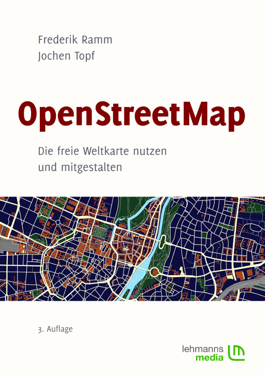
Together with Frederik Ramm, I wrote a book about OpenStreetMap. The 1st German edition was published at the beginning of 2008. A year later we published the 2nd edition and the 3rd in 2010. We created an English edition together with Steve Chilton, it was released in October 2010. More information about this book is at www.openstreetmap.info. I occasionally also write magazine articles about OSM.
I gave my first talk about OSM at FOSSGIS 2007 in Berlin. Since then I have also spoken at several other FOSSGIS conferences, SOTM 2008, 2009, and 2010, SOTM-EU 2011, at LinuxTag 2009, and many other conferences and events. See my list of talks.
Time permitting I am willing to talk about OSM (in general or on specific topics) at events, but (unless I am at the event anyway) I expect to be reimbursed for expenses. If it's a commercial event, I'll probably also ask you to pay a fee. Talks can be in German or English.
Community Activity

I am a member of the German FOSSGIS e.V., a non-profit that supports Open Source Geo-Software and Open Geodata. From 2019 to 2022 I was treasurer of this organization.
I was (and still am) involved in lots of OSM community activities. In some years I helped organizing the FOSSGIS Conference, a yearly German conference on the topics of Open Source GIS (Geographic Information Systems) and Geodata which is also the most important OSM event for the German language community.
Other things I had a hand in are the (now defunct) free GPS lending project and organizing and administering the servers run by FOSSGIS.
I have (co-)organized several other smaller events:
- March 2007: Karlsruhe Mapping Party
- April 2007: Essen Developers Workshop (First OSM Developer Meeting)
- April 2008: Address Mapping Workshop (where the Karlsruhe Schema was invented)
- November 2008: German Community Meeting
- May 2009: Public Transport Workshop
- December 2010: German Community Meeting
- October 2016: Elbe-Labe-Meeting 2016
- September 2017: Elbe-Labe-Meeting 2017
Since February 2012 there is also a more or less regular series of hack weekends in Karlsruhe I helped organize while I was still living there (February 2012, June 2012, October 2012, February 2013).
I helped with organizing and/or manning booths at conferences like LinuxTag or Intergeo 2009.
In 2017 I ran a large project with the OSM community to fix broken multipolygon geometries and replace outdated multipolygon relations with modern tagging. Some information is in these blog posts. For this effort I received the "Greatness in Mapping Award" of the OSM community in 2017.
Software Development
I am especially interested in the technical side of OpenStreetMap and have worked on many different software programs for it. This includes database stuff (PostgreSQL/PostGIS), converting OSM data into other formats (such as shapefiles used in the professional GIS world), renderers (back in the 2007 and 2008 I worked on Osmarender, small patches for Mapnik), quality assurance (OSM Inspector) and many other things.
Here are some of my more current projects:
- A Wikipedia project to create Multilingual maps
- Collecting statistics and other data about OSM tags: Taginfo
- My C++ library for working with OSM data: Osmium and a lot of other software built on top of it.
- I am actively involved in the development of osm2pgsql and have recently created a website for it. This is part of my paid work for OSMF and others.
- Extracting coastline data from OSM: OSMCoastline
- Some experimental renderers: XR
- Together with Frederik Ramm, I developed the Tirex tile rendering system, but I don't maintain it any more.
Some older stuff I have done that's not really relevant any more:
- The OSMGarminMap program to create maps for Garmin GPS units from OSM data (now obsolete, use Mkgmap instead).
- I created the (now obsolete) Maplint checker, the first tool for checking OSM data quality.
- I am the author of the Ruby OSM Library (I don't use this anymore myself, its just too slow for larger datasets. The library is looking for a maintainer.)
See also my software page.
Geofabrik

OpenStreetMap started as a hobby for me and it very much still is. But bills must be paid, so these days I also try to make a living from it. In 2007 I founded together with Frederik Ramm the Geofabrik GmbH, a company offering many services around GIS and OpenStreetMap.
Realizing that I am not really the manager type but first and foremost a software developer, I resigned from the position as managing director of the company in 2010 and returned to being a freelancer. I am occasionally still working with Geofabrik in a freelance capacity.
Services and Web Pages
From 2008 to 2011 I maintained the German OSM project website at www.openstreetmap.de.
While at Geofabrik I created, among other things, the OSM Inspector and Map Compare. They are now all maintained by others.
Today I still maintain the main taginfo site for the OSM community.
In May 2012 I started OpenStreetMapData.com where I used to offer some OSM derived data for download. In 2019 this service moved on to osmdata.openstreetmap.de.
Interviews
I have given a few interviews about OpenStreetMap. As far as I know these are the only ones still online:
- 2007-03-13: moenk's
podcast #1: OpenStreetMap FOSSGIS

- 2009-03-10:
CRE 113: OpenStreetMap

Odd and Ends
- My personal list of do's and don'ts when inventing tags: How to invent tags
- I organized a mapping project at a high school in Germany: Mapping-Aktion am Elisabeth-von-Thüringen-Gymnasium
![[JT]](/img/jtlogo.svg)